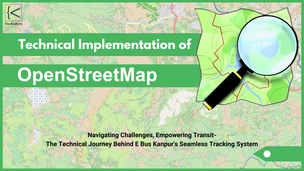
Introduction
In our last post, we introduced how OpenStreetMap (OSM) revolutionized urban transit by offering a cost-effective solution for the E Bus app. This week, we dive deeper into how OpenStreetMap for real-time bus tracking helped us overcome various technical challenges and create a seamless transit tracking system. By implementing OpenStreetMap, we were able to provide accurate data, real-time processing, and scalable performance for our growing user base, In the Blog we will discuss the challenges we encountered and the solutions we devised to create a seamless open street map transit tracking system.
Challenges We Faced While Implementing OpenStreetMap
Each project brings its own distinct challenges. While OpenStreetMap was the perfect choice for our budget and customization needs, nevertheless, there were some technical hurdles to overcome:
-
- Ensuring Data Accuracy in OpenStreetMap for Real-Time Bus Tracking
One of the biggest challenges was ensuring that the data provided by OpenStreetMap was accurate enough for real-time bus tracking. To ensure accuracy, we had to refine the data collection process and integrate it smoothly with our backend systems.
- Ensuring Data Accuracy in OpenStreetMap for Real-Time Bus Tracking
-
- Real-Time Data Processing using an OpenStreetMap
Real-time tracking requires constant data updates. We had to implement a robust system that could handle frequent data refreshes; consequently, it was essential to ensure minimal delays. Our team developed a real-time API integration to constantly fetch and update location data from the buses.
- Real-Time Data Processing using an OpenStreetMap
-
- Scalability and Performance in OpenStreetMap Bus Tracking
As the user base of the E Bus app grows, consequently, so does the demand for scalability. We designed the system to handle large numbers of concurrent users without compromising performance. This involved creating efficient algorithms for route calculation and optimizing server responses.
- Scalability and Performance in OpenStreetMap Bus Tracking
Our Approach to Solving These Issues in in OpenStreetMap Bus Tracking:
-
- Advanced Algorithms for Real-Time Bus Updates in OpenStreetMap
To ensure real-time bus tracking, we built an advanced algorithm that processes location data, calculates routes, and displays bus locations on the map. We used OpenStreetMap’s customisable APIs and enhanced them with our in-house coding solutions to ensure accuracy.
- Advanced Algorithms for Real-Time Bus Updates in OpenStreetMap
-
- Optimizing Data Layers in OpenStreetMap for Performance
By customizing OpenStreetMap’s layers, we filtered out unnecessary data; consequently, we focused solely on what’s relevant to the transit system. This, in turn, minimized data load and improved map performance on both desktop and mobile devices.
- Optimizing Data Layers in OpenStreetMap for Performance
-
- Handling User Load with Cloud Infrastructure for OpenStreetMap Service
We employed cloud infrastructure to handle large-scale real-time data and offer uninterrupted service to thousands of users. This allowed for scaling, consequently, as needed without impacting the overall performance of the app.
- Handling User Load with Cloud Infrastructure for OpenStreetMap Service
Technical Features of Our OpenStreetMap Integration for Real-Time Bus Tracking
-
- Custom Map Styles Using OpenStreetMap for Enhanced User Navigation
With OpenStreetMap, we developed custom map styles specific to urban layout, ensuring clear bus routes and stops. The custom styling helps users navigate and understand the map more intuitively.
- Custom Map Styles Using OpenStreetMap for Enhanced User Navigation
-
- Route Optimization for Users of in Bus Tracking:
We implemented a feature that suggests the best bus routes based on real-time data, minimising wait times for users. This feature dynamically updates based on traffic and bus availability, providing the most efficient travel route.
- Route Optimization for Users of in Bus Tracking:
-
- Geofencing and Alerts in Real-Time Bus Tracking:
One unique feature we added was geofencing. This allows users to set alerts for when a bus is arriving at a specific location, improving their transit experience.
- Geofencing and Alerts in Real-Time Bus Tracking:
Final Thoughts on Implementing OpenStreetMap for Real-Time Bus Tracking:
If you’re interested in learning more about how we used OpenStreetMap to revolutionise urban transit, be sure to check out our previous post here for a deeper dive into the initial stages of our project. For more details on how Kraftors Web Solutions can help you with similar solutions, feel free to visit our Contact Page to get in touch with our team.