Real-time data is crucial for optimizing the efficiency and convenience of urban transportation systems. At Kraftors Web Solutions, we recently undertook the challenge of building a scalable, cost-effective solution for the E Bus project. This involved real-time bus tracking and accurate location services—without breaking the bank. The solution? Transitioning to OpenStreetMap (OSM) is an open-source alternative to expensive commercial mapping solutions like Google Maps.
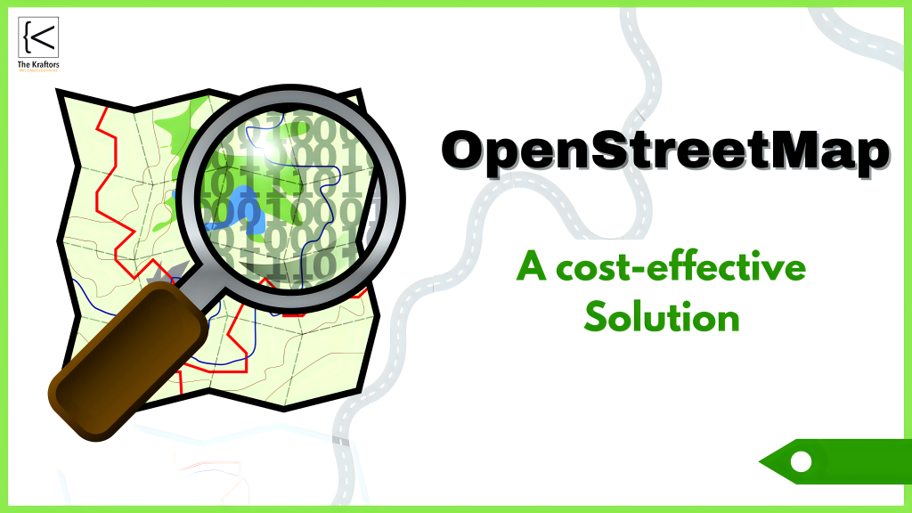
Why We Chose OpenStreetMap
Selecting the right mapping service is critical for applications like E Bus, where real-time tracking is key to improving user experience. Although Google Maps is feature-rich, its commercial API costs can quickly escalate, especially for apps with large user bases. That’s where OpenStreetMap comes in—not only as a powerful alternative but also a flexible and, most importantly, cost-effective solution.
Key Benefits of OpenStreetMap in Our Project
Cost Efficiency: We slashed mapping costs by over 80% by choosing OSM over commercial alternatives. The savings allowed us to invest in other key project areas, such as enhancing the user interface and backend performance. The cost-effective nature of OSM ensured that we stayed well within budget, making it the cheaper option without compromising on quality.
Real-Time Tracking: OSM’s flexibility enabled us to build an advanced tracking module that provides real-time updates on bus locations. Users can now access up-to-date information, improving the reliability of their commute. This “faster” access to accurate information ensures a seamless experience for commuters, boosting user satisfaction.
Customizability: Unlike commercial mapping services, OSM allowed us to customize the maps to better reflect unique urban landscape. This provided users with a more localized and accurate view of bus routes and locations, offering a better overall experience tailored to their needs.
A Comparison with Other Mapping Services
In today’s evolving tech landscape, several mapping services are available, each with its own strengths:
Ola Maps: A newer player offering interesting features, but still evolving and lacking the customizability we achieved with OSM.
Google Maps: Comprehensive but costly, making it less suitable for budget-conscious public transit apps.
MapmyIndia: A strong competitor for Indian geographies but, like Google Maps, comes with costs that may not fit every project.
ROI: The True Value of OpenStreetMap
Beyond the immediate cost savings, the Return on Investment (ROI) was a major consideration in selecting OSM. By reducing mapping costs by 80%, we significantly increased the ROI for the E Bus project. These savings can be reallocated toward additional features or improvements, such as:
- Scaling the app to support more users without inflating operational costs.
- Investing in customer support or other value-added services.
- Ensuring long-term sustainability, as the app can grow without being burdened by costly API fees.
Using OSM not only cuts upfront expenses but also delivers long-term value, helping public transportation systems like E Bus remain affordable and efficient over time.
Why OpenStreetMap Stands Out
OpenStreetMap is more than just a free alternative; it’s a platform that allows for deep customization and community-driven updates. For a project like E Bus, this means we could tailor the map data specifically for local users, ensuring a more accurate and helpful service.
Final Thoughts
At Kraftors Web Solutions, we are committed to delivering innovative and cost-effective solutions. The success of our OpenStreetMap integration in the E Bus app showcases how open-source tools can provide top-tier functionality without breaking the bank. As we look to the future, we’re excited to continue exploring how OpenStreetMap and similar technologies can enhance urban transit and other public services.
For more information on how you can benefit from our mapping solutions, please contact us at ai@thekraftors.com.